
It’s famous the world over for its lights but the heat thrown out by Tokyo has now been captured on camera.
German tech giant Constellr has released high-resolution thermal images from the SkyBee-1 satellite, offering unparalleled insights into Tokyo’s nighttime heat distribution.
The image marks a significant step in leveraging space technology for urban planning and climate resilience.
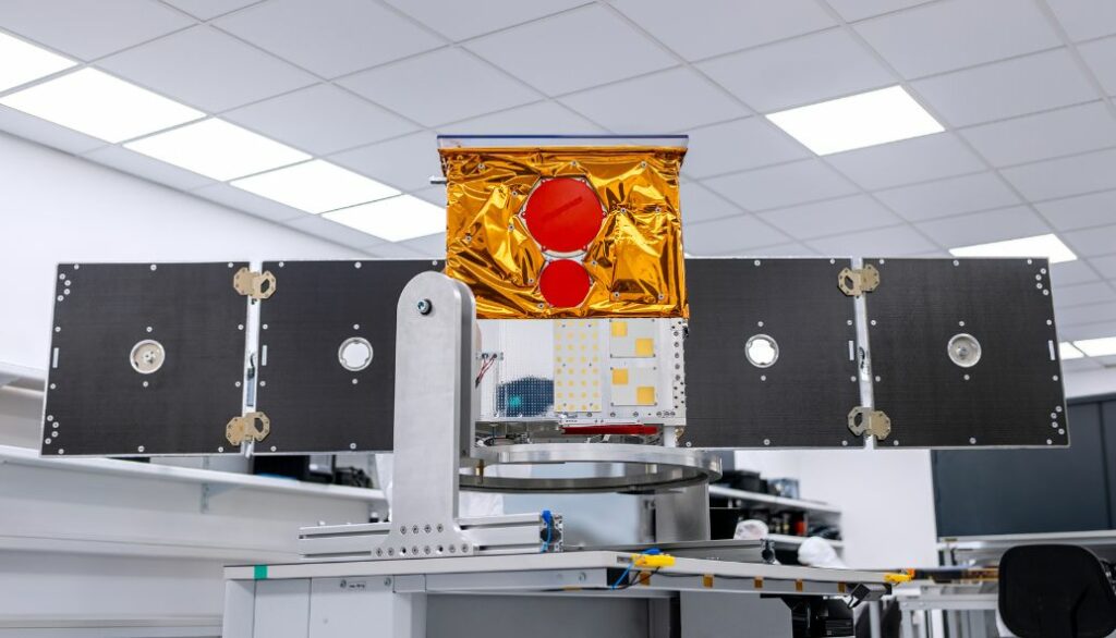
SkyBee-1, the first satellite in constellr’s HiVE constellation, uses advanced cryocooling technology to capture precise land surface temperatures at an unprecedented level of detail.
The satellite’s new imaging capabilities divide Tokyo into 30-by-30 metre grids, enabling accurate identification of urban heat patterns across buildings, parks, industrial zones and water bodies.
The thermal data provides essential intelligence for addressing urban heat island effects.
Tokyo’s waterways act as natural coolants, retaining heat at night while cooling their surroundings during the day.
Industrial zones near the Sumida River demonstrate lower temperatures due to heat-reflective materials, while solar panels exhibit distinct temperature variations, staying cool at night but heating up rapidly during daylight hours.
With extreme heat events on the rise due to climate change, constellr’s thermal imaging technology offers critical solutions for urban planners.
The data can be used to optimise green space placement, assess cooling infrastructure, and improve energy efficiency across city landscapes.
Dr Max Gulde, CEO of Constellr, stated: “For the first time, we can pinpoint precise temperature variations from space, helping industries worldwide optimise resources, enhance climate resilience, and make data-driven decisions at an unprecedented scale.”


